


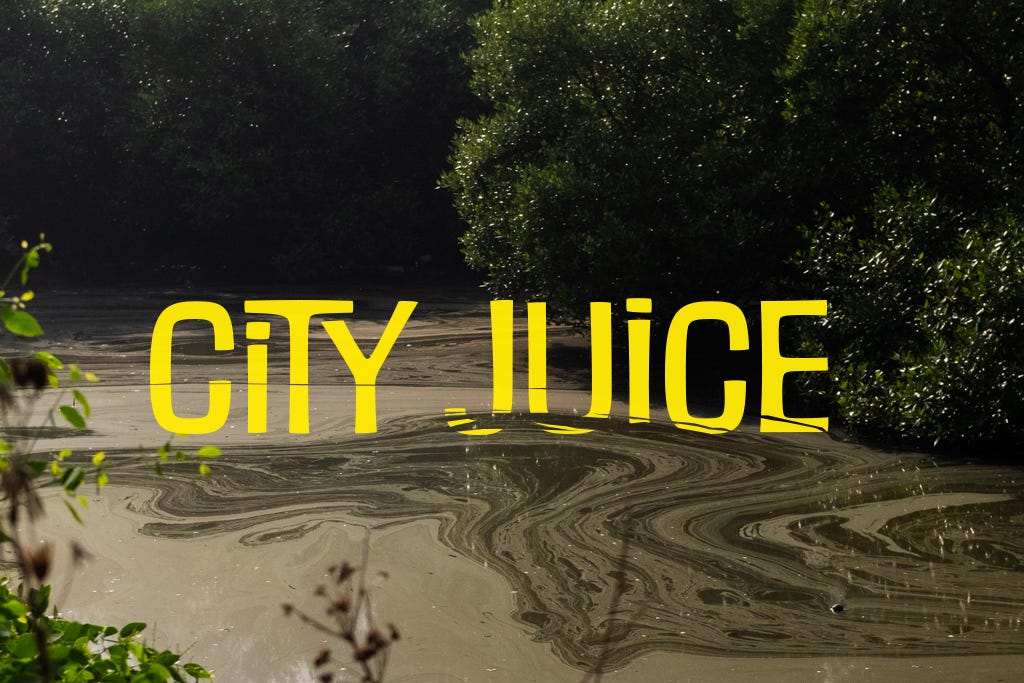
River Bank of India Series 03: City Juice
A river in Navi Mumbai.

River
We:
Name them,
Grade,
Compare,
Dam,
Straighten,
Divert,
Link,
Dry.They remember.
We don’t.
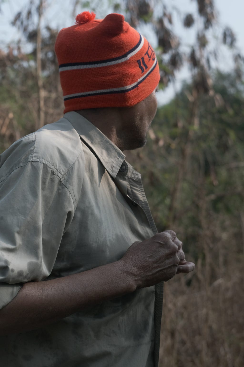
Do we have rivers in Navi Mumbai? That was a question a group of friends, current residents of Navi Mumbai, recently asked ourselves during a Zoom conference call. The group primarily consisted of architects, artists, and filmmakers, calling this five-decade-old city home. Navi Mumbai was built as a planned satellite town for Mumbai on the mainland, encompassing fishing villages, wetlands, and the fields surrounding them. Today, it is estimated to be home to 1.6 million people, almost all migrants from other parts of India, like me and my friends.
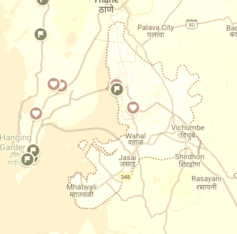
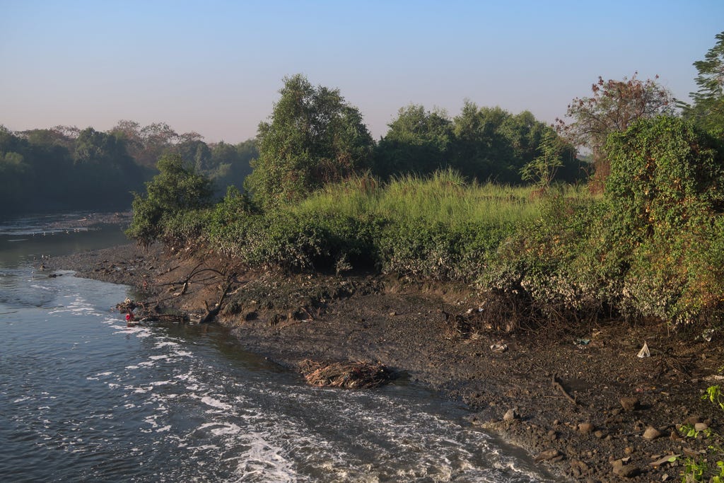
So, do we have rivers in Navi Mumbai? We all knew the answer. The city, built on a narrow strip of land flanked by the Parsik Hills to the east and the Thane Creek, is intersected by several seasonal water channels. Now functioning as rainwater drains, these channels spread upon reaching the tide line to form a rich, thriving mangrove forest.
During the meeting, we decided to check out one such as "river" or to use the Hindustani term nullah, which means stream or rivulet, or, in modern Mumbai usage, a drain. The term is almost always used negatively to refer to a drain carrying sewage or untreated water.
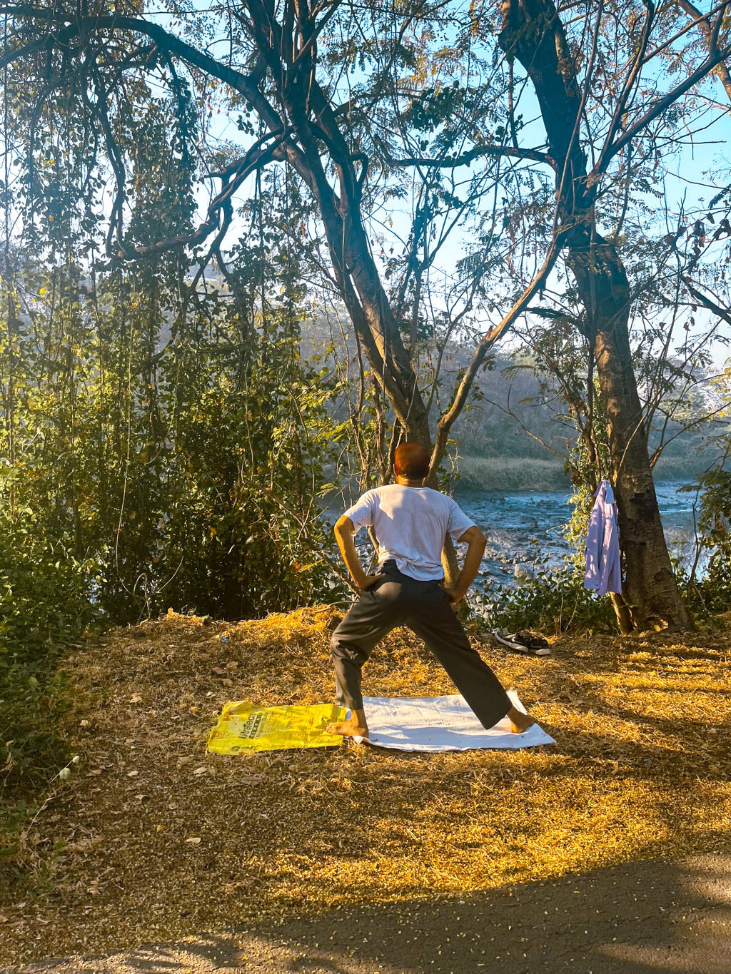
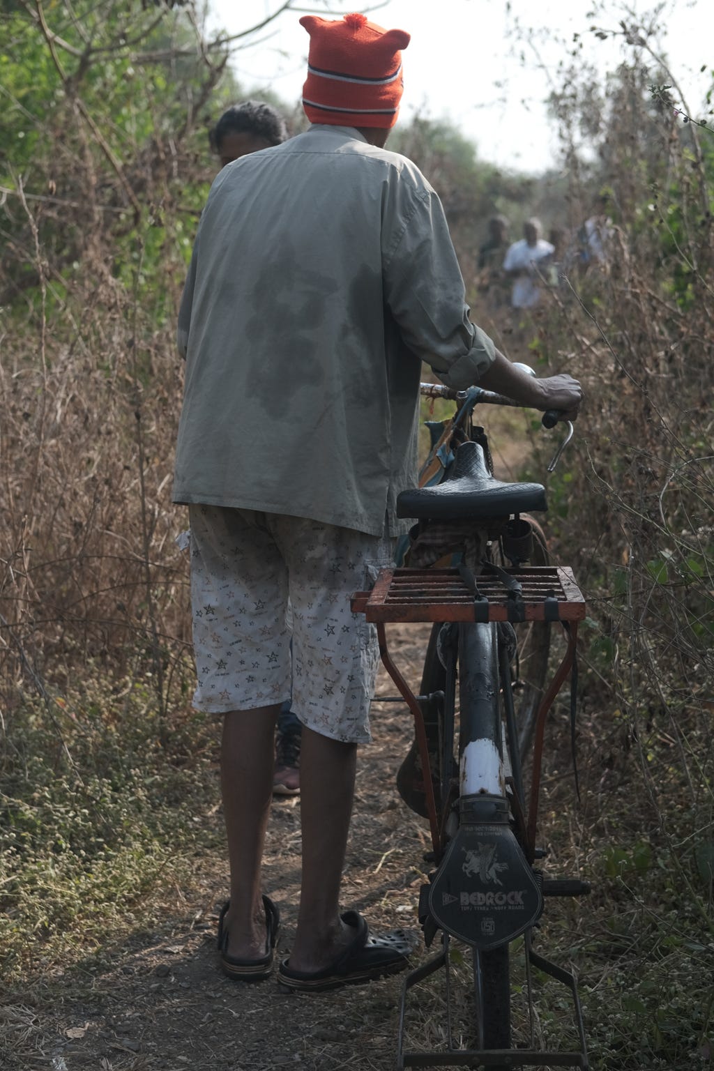
That is how we walked along the Kopri Nullah's lower stretch one cool winter morning. We plan to walk upstream to the river's source in the hills later this year.
City Juice.
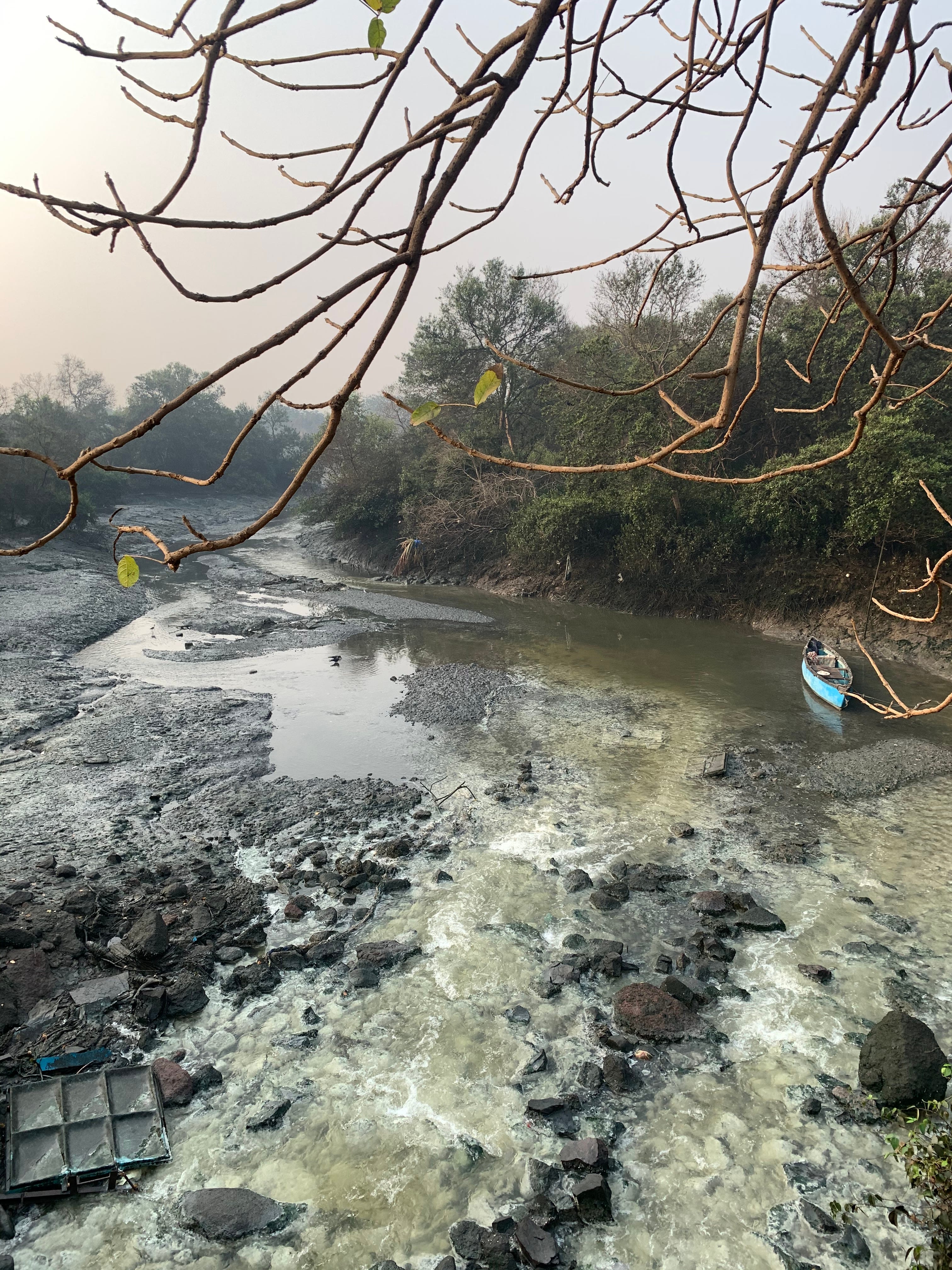
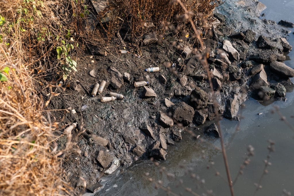
The Kopri Nullah is a name we have heard people use for this river, and we decided to adopt it here. It remains unnamed on most maps. It is also no longer seasonal. Untreated water from numerous industrial units upstream and greywater from informal settlements and villages ensure a constant flow of polluted water throughout the year.

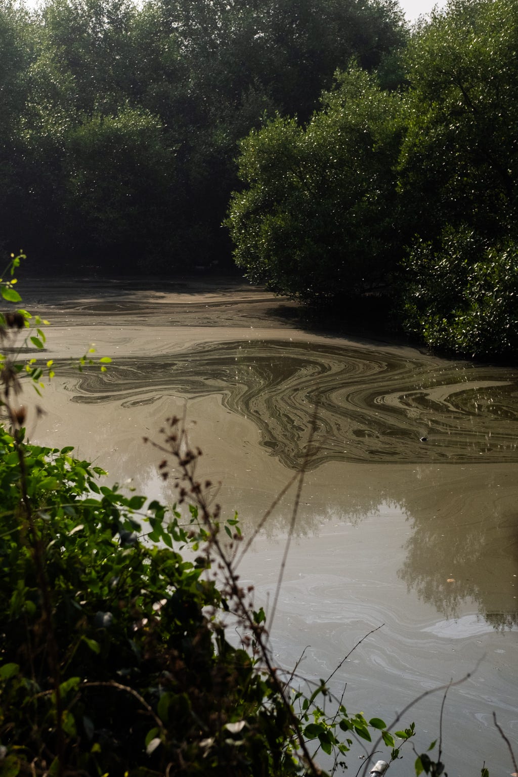
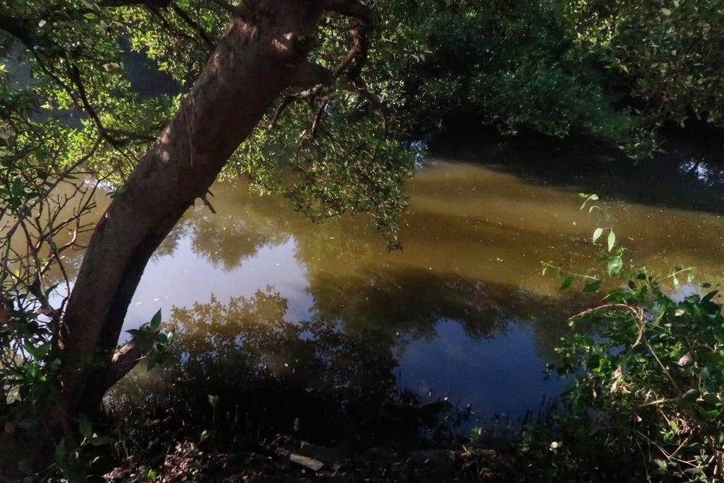
Downstream, one of the city’s sewage treatment plants releases treated water very close to the high tide line. Once it reaches the mangroves, the dance of the tides keeps it alive.
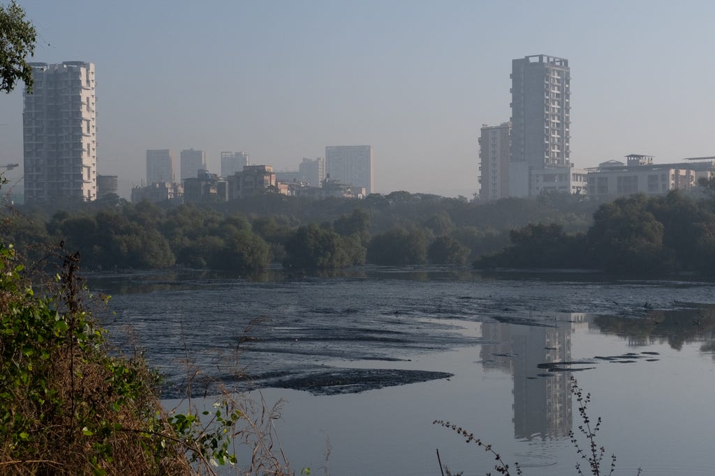
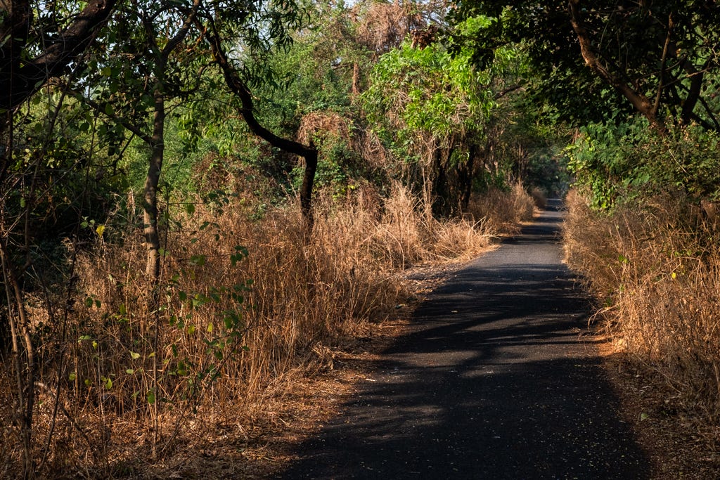
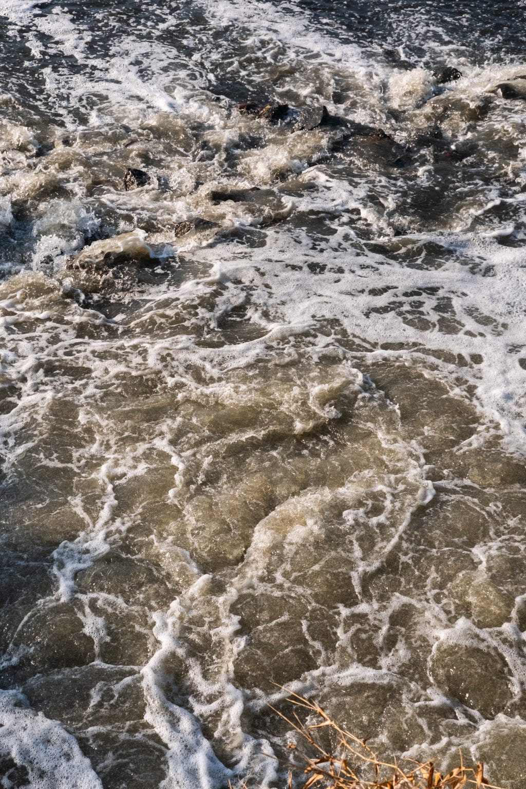
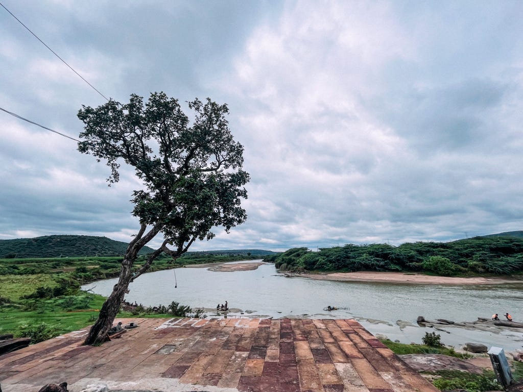
The River. A Nullah.
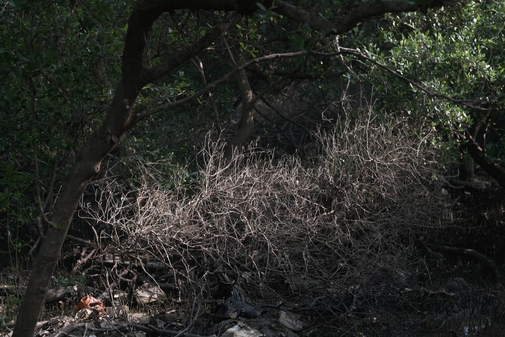
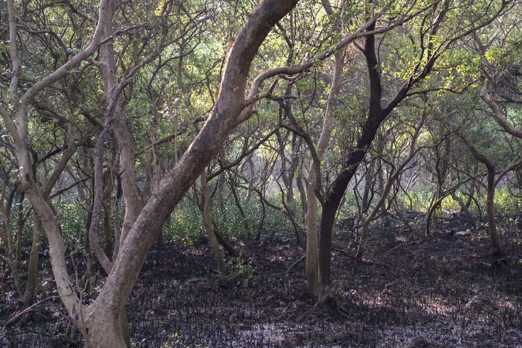
The hills from where the rivulet springs. And a straightened river when it enters the residential zone of the city.
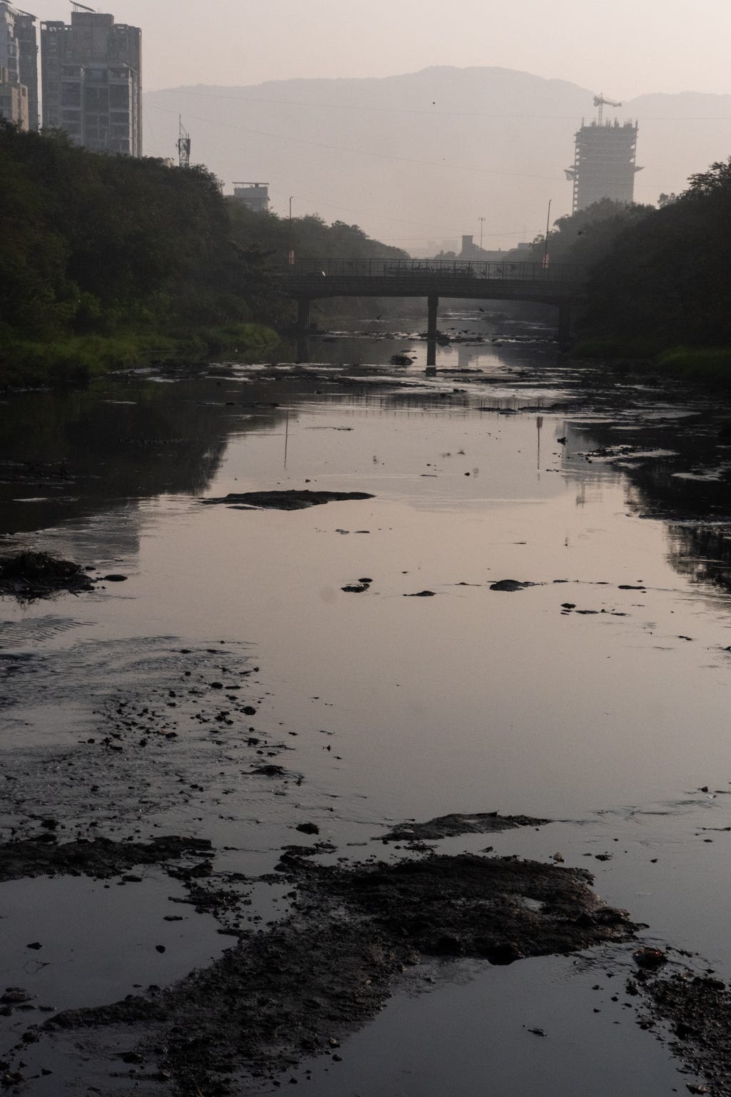
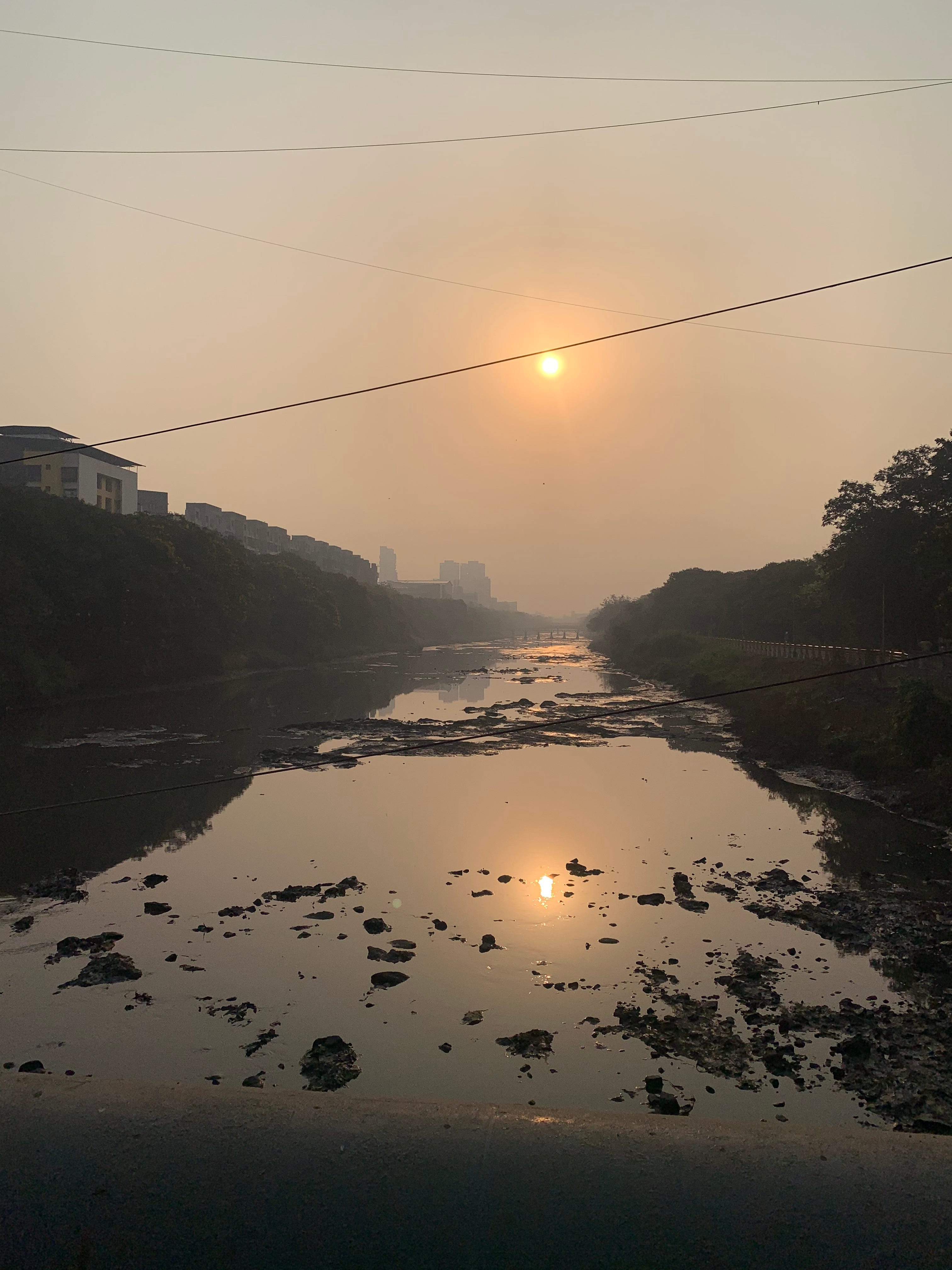
The river as it enters the interidal zone.
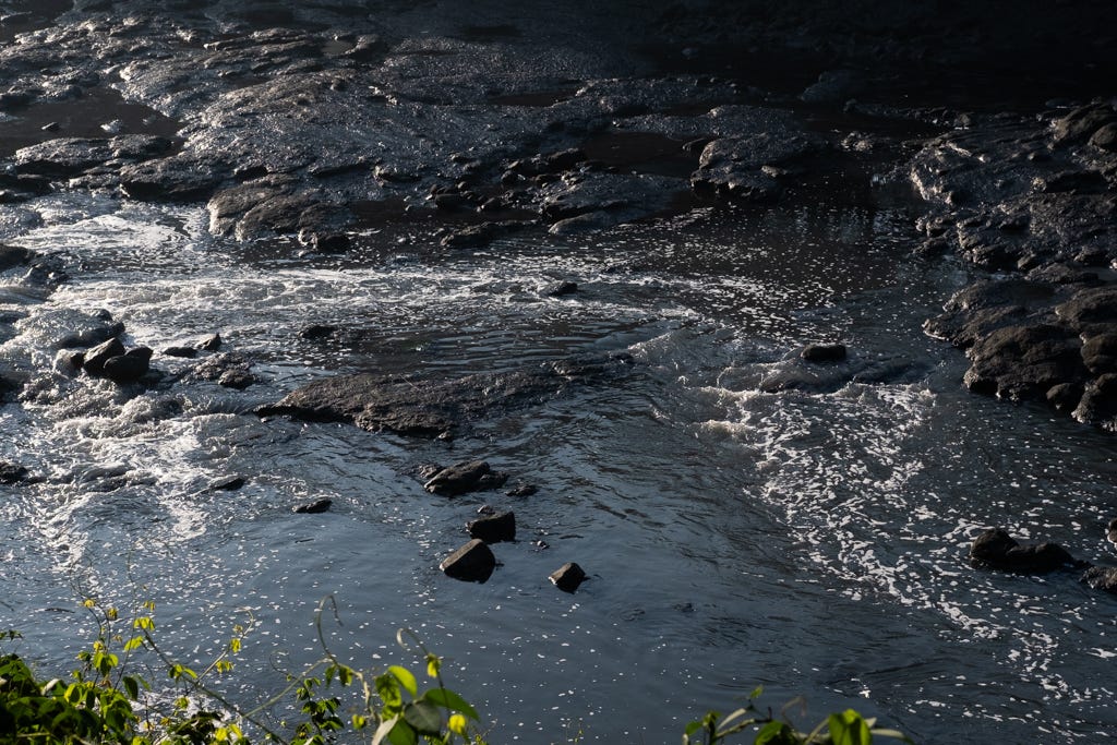
Our input. The juice. Industrial waste and sewage.

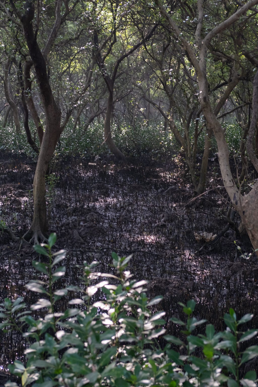
The river shows its true strength during the monsoon season when the rain water flushes out all the chemicals from the factories that the river's rivulet accumulates as plaque.
A water pipeline that runs perpendicular to the river. The city of Mumbai gets its water from the Morbe Dam. The dam is from another river valley to the southeast of the city. It is built on the Dhavari River that flows from the Shayadri or Western Ghats.
Currently, the city plans to dam another river or acquire water further away in the south - Patalganga River, for example. The city is set to expand southwards on the mainland.
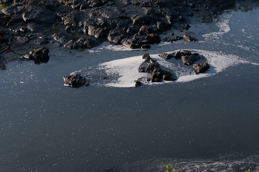
The picture below shows an open stretch between the mangroves that works like a holding tank that accumulates water during floods, common during the monsoon.

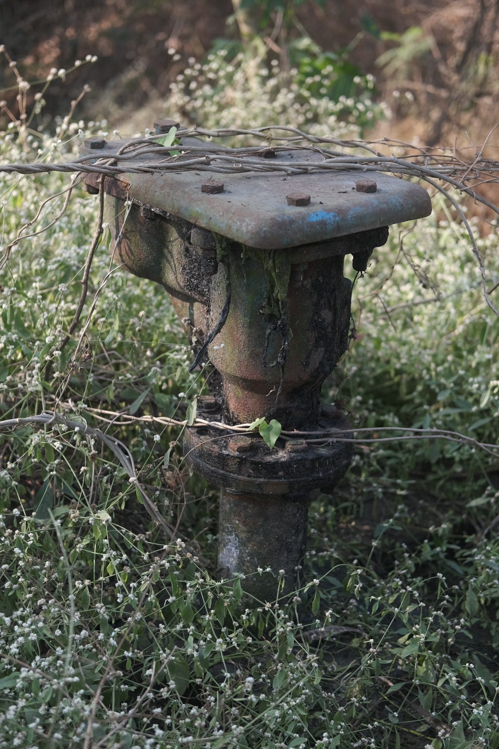
The water flow in the entire estuary and mangroves here is tightly regulated. Flaps and sluice gates control the water flow, which should be quite complex considering the tides and extreme rain events this city encounters every monsoon.
The Sewage Treatment plant for this valley is also on the sideline, and gates regulate the flow depending on its operations.


A road that leads to the different water regulation flaps and other water management systems is a great place to walk along the river, into the mangroves. It is popular with morning walkers and occasional bird watchers in the locality.


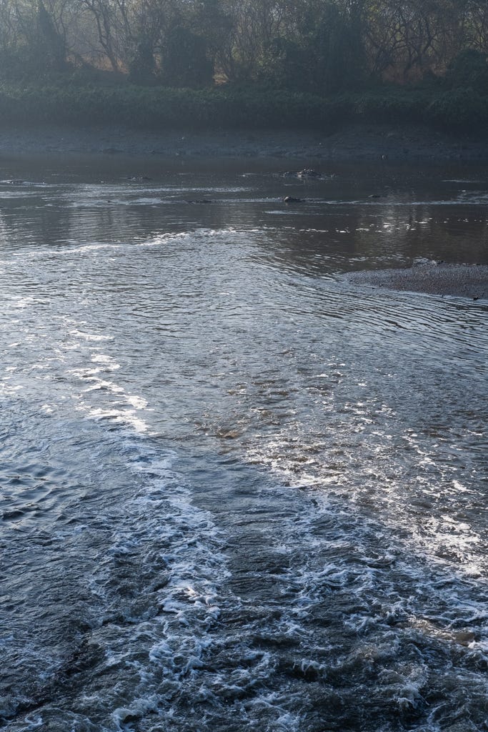
The water from the Sewage Treatment Plant enters the river:
Below the radar or sonar is the life of this city's oldest residents- the intertidal zone fishermen who go on about life harvesting crabs and fishing. The water controls must be tuned to their activities, too.
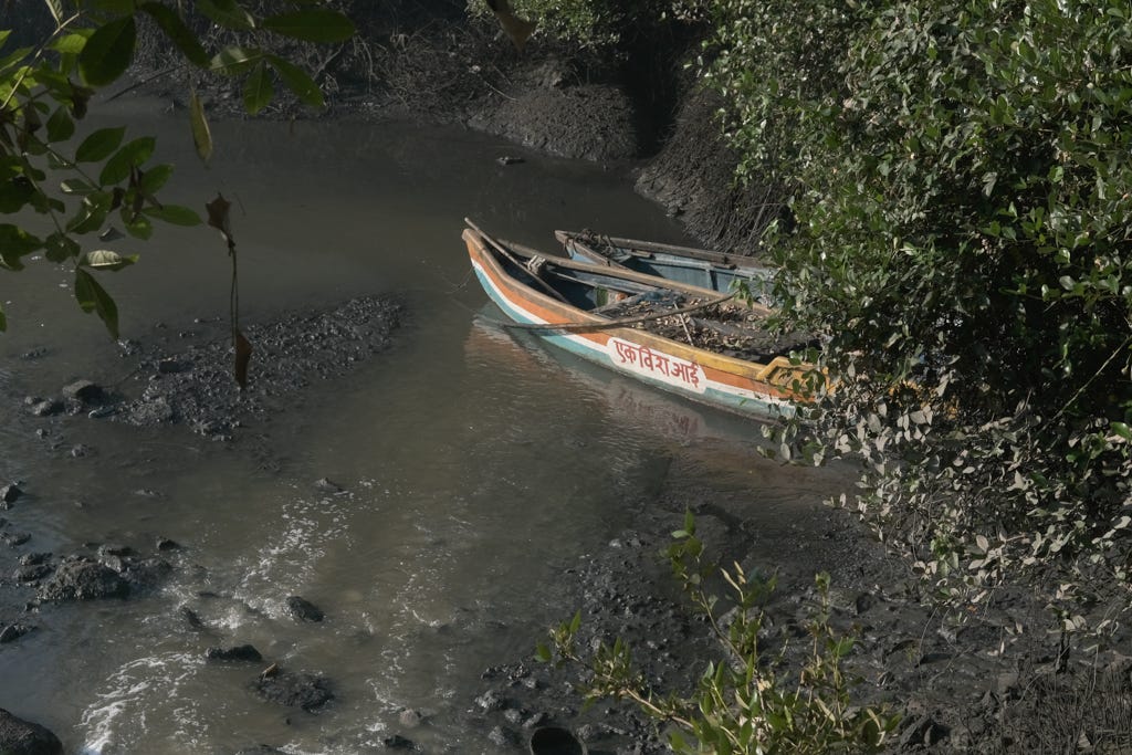
Catch of the day: A bag full of crabs (Chemburi).
The boats used to place crab traps across the river’s estuary and harvest them. The traps are in the intertidal zone, washed by the tides from the sea.
As you walk the length of the river, you can see the health of the mangrove forest improving, turning a fresh green, and the colour of the water becoming clearer. The air clears up, too. People say that mangroves are like the kidneys of the city, soaking up our waste, and you can smell it here.
The mangroves as you move closer to the sea.
We plan to upstream one day soon and capture the river as it meanders through the industrial part of Navi Mumbai. I hope to share the images here.
Also, do have a look at the two earlier River Bank of India photoessays.
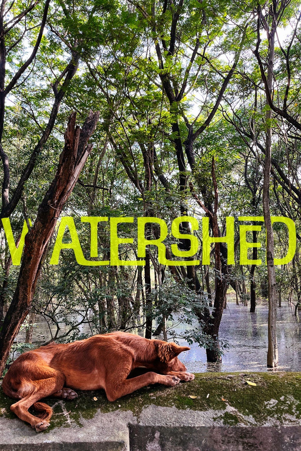
Two: Watershed - A city river in Bangalore.
One: Bends on the River Mallaprabha, North Karnataka.
That’s all, folks.
What an absolutely brilliant photo-essay this is! I am amazed at the depth of knowledge on display here. And of course, the love you harbour for the city in post after post.
Very exhaustive mapping Gopal. I look forward to the day when we treat our rivers well and restore them to their pristine condition